 |
David COUTURIER A NEW APPROACH TO THE ROMAN STREET LAY-OUT |
Abstract
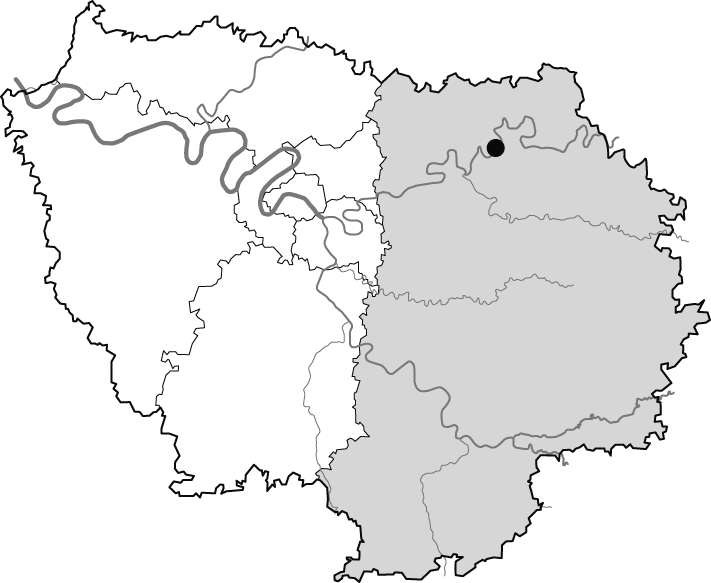
The roman street map of Meaux was drawn up by A.-E. Carro in the 19th century. The recent archaeological excavations have made it possible to validate its broad outline and to propose new hypotheses. The roman street map has been largely fossilized by more recent urban boundaries.

 FR
FR  EN
EN 


